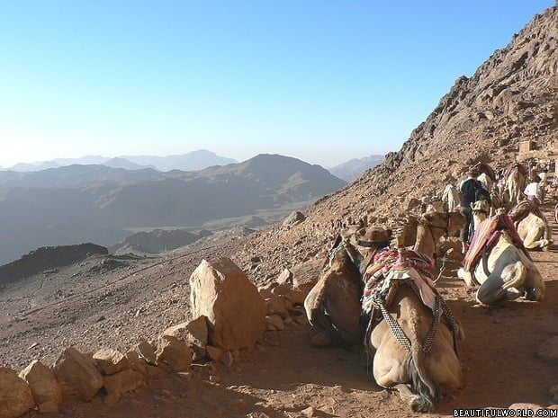
Egypt is situated in both the northeast corner of Africa and southwest corner of Asia, bridged by the Sinai Peninsula. Whilst known the world over for it’s pyramids and fascinating history, Egypt also has some curious geographical features. The majority of the country is covered by barren low-lying sand dunes, though it is dissected by the Nile River as it flows north to the Mediterranean Sea. The valley surrounding the Nile is the countries only fertile land, and is home to 98% of the population. The ancient Egyptians used to call this fertile land on the banks of the Nile river ‘black land’, whilst ‘red land’ was the barren desert that protected Egypt from countries on either side.
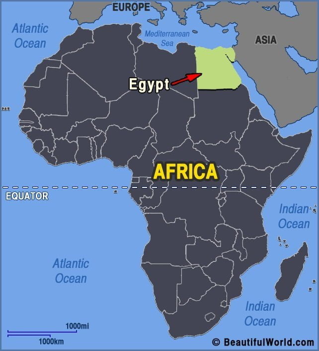

Algeria | Chad | Egypt | Libya | Mali | Mauritania | Morocco | Niger | Sudan | Tunisia | Western Sahara
Sahara Desert
The Sahara is the largest non-polar desert in the world. Covering approximately 3.5 million square miles (9,064,958 sq. km), it occupies land belonging to Algeria, Chad, Egypt, Libya, Mali, Mauritania, Morocco, Niger, Western Sahara, Sudan, and Tunisia. The boundaries of the desert are the Red Sea to the east, the Mediterranean Sea to the north,…