 Ireland is an island in the north Atlantic Ocean, separated from Great Britain by the Irish Sea. Mostly flat, the country resembles a basin, with low central plains surrounded by a ring of low coastal mountains. The highest mountain, Carrauntoohil, is a mere 3415ft (1041m) above sea level. Politically, the island consists of the Republic of Ireland which controls five sixths of the island, and Northern Island, which has control over the remaining sixth. To date, there have been six national parks designated in the Republic of Ireland.
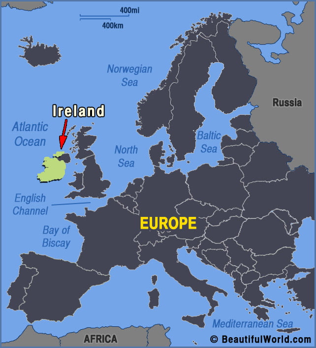

Giant’s Causeway
The Giant’s Causeway is a vast and impressive expanse of closely packed hexagonal basalt columns approximately 40,000 in number that poke out of the Irish Sea. Formed as a result of intense volcanic activity, it lies on the north coast of the County of Antrim, Northern Ireland. The symmetrical and unique rock formations have mesmerised…
