Tanzania, which includes the islands of Pemba, Zanzibar and Mafia, is the biggest country in Eastern Africa, spanning a total 947,300 square kilometres (365,755 sq. mi). To put this into perspective, it is approximately three times the size of the U.S. state of new Mexico.
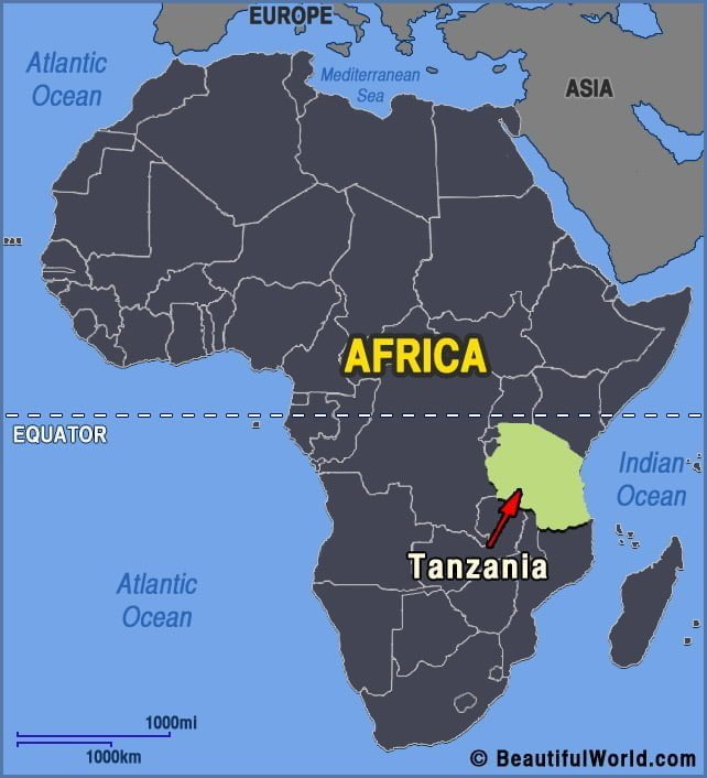

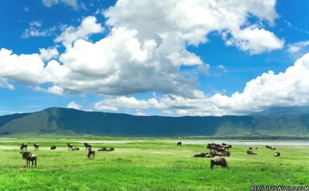
Serengeti National Park
As the sun glows golden in a deep red sky, a cloud of dust appears on the horizon. Soon, the whole of the savannah is trembling with the thudding of a million hooves. The great wildebeest migration is the most famous event in the Serengeti’s annual calendar, but all year round, this National Park in…