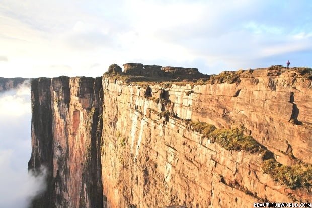
Venezuela

flag-of-venezuelaVenezuela's diverse topography includes the rugged Andes Mountains, parts of the Amazon Jungle, a diverse selection of National Parks, and an almost perfect Caribbean coastline.
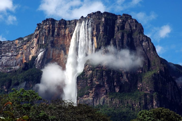
 Its location just above the equator ensures a pleasant climate throughout the year. There is one dry season - December to May, the rest of the year is wet. Upon seeing Venezuela, Christopher Columbus remarked that is must be paradise. He nicknamed the region Land of Grace. On a later expedition, Amerigo Vespucci said that the land reminded him of his home city Venice, Italy. He named the region "Venezuela" meaning "little Venice" in Italian. Some scholars believe that the original name may have come from an indigenous people who called themselves the "Veneciuela".
Capital city: Caracas Highest Point: Pico Bolivar (16,427ft / 5007m) Lowest Point: Caribbean Sea (0ft / 0m) Land Area: 340,561 sq. mi (882,050 sq. km) Water Area: 11,583 sq. mi (30,000 sq. km) Total Area: 352,144 sq. mi (912,050 sq. km) Coastline: 1740 miles (2800 km) Bordering countries (3) Brazil, Colombia, Guyana
venezuela-south-america-map
Venezuela Map
Angel Falls

Angel Falls

Angel Falls is the world's highest uninterrupted waterfall. Located in Canaima National Park, the second largest national park in Venezuela, the waterfall tumbles from...
Mount Roraima

Mount Roraima

Located in Venezuela’s Canaima National Park, Mount Roraima is the highest of the Pakaraima chain of tepui plateau. Mount Roraima is 9mi (14km) long,...
Canaima National Park

Canaima National Park

To describe this incredible area as a park may seem to be something of an understatement. Canaima National Park in south-east Venezuela is simply...