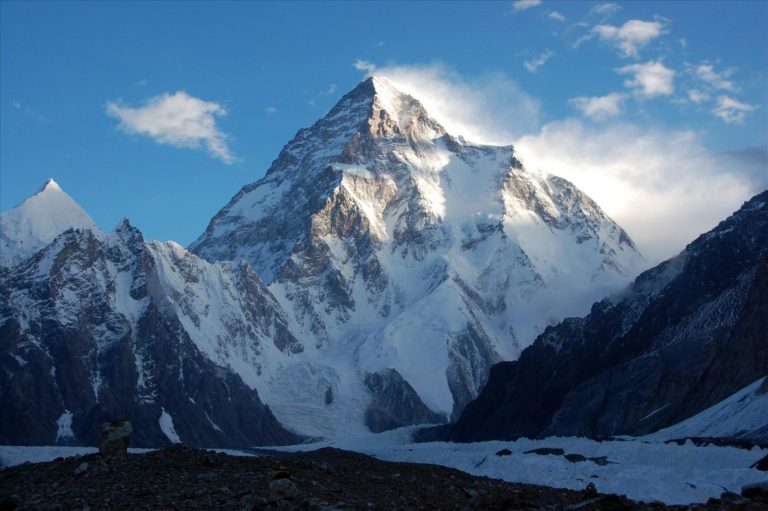
Situated in South Asia, Pakistan features a diverse and varied landscape, from the soaring mountains of the Karakoram range in the North to the flat Indus plain in the east, Balochistan plateau in the west, and the coastal areas of the Arabian Sea in the south. The most dramatic landscape is in the North, where K2 (28,250ft / 8611m), the second highest mountain in the world is located. Pakistan has declared 29 different protected areas/national parks around the country, the majority of which are in the north.
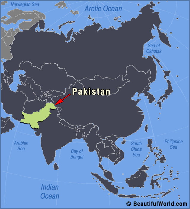

Thar Desert
The Thar Desert is the largest desert in India which is why it is also called the Great Indian Desert. The desert covers more than 77,000 square miles (200,000 sq. km). Where is the Thar desert located? The Thar desert is located in Asia and sits on the border between India and Pakistan. The map…