Indonesia is an archipelago nation comprised of over 18,000 counted islands. Spanning just over 1.9 million square kilometres (735,358 sq. mi), it is the largest and most diverse archipelago on the planet. Many of the islands remain uninhabited, with most of the population living on the larger islands of Java, Kalimantan (Borneo), Irian Jaya (Papua), Sumatra and Sulawesi. These larger islands are quite mountainous, with some peaks exceeding 12,000ft (3657m). The highest elevations are found on Irian Jaya in the east, with the highest peak, Puncak Jaya, reaching 16,502ft (5030m).
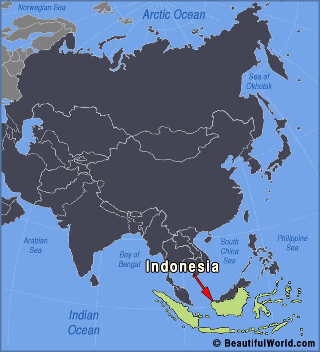

Bali
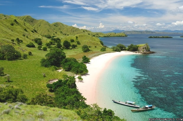
Bali is a famous Indonesian island located in western Indonesia just a few miles east of Java. Bali covers approximately 2160 square miles (5600 sq. km), with a mountainous interior of lush forests and clear lakes that complement the gorgeous beaches, which ring the island. Bali is known for its distinctive and unique culture that…