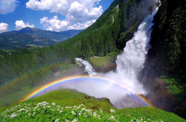
Austria is a small, landlocked country, which borders eight other countries in Central Europe. It is predominantly mountainous (Alps) in the west and south, though mostly flat/gently sloping along the eastern and northern margins. With a total area of just 83,859 sq. km (32,378 sq. mi), Austria is slightly smaller than the US state of Maine. There are seven national parks in Austria, which together comprise 2.8% of the total land area.
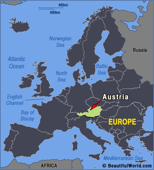
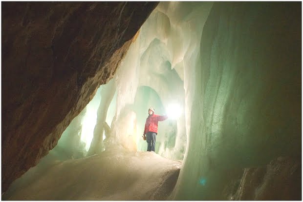
Eisriesenwelt Cave
Tucked away inside the Hochkogel Mountain in Werfen, lies Eisriesenwelt, the largest ice cave in the world. Sprawling an enormous 26 miles (42km) through the Tenneggebirge section of the Alps, Eisriesenwelt aptly translates to “World of the Ice Giants” in English. Only the first 0.62-mile (960m) of the cave is sheathed in ice, though luckily,…