 Mongolia is a large landlocked country in east-central Asia, spanning a total 1,564,116 sq. km (603,909 sq. mi) across the continent. From the Gobi Desert in the south, Mongolia rises into a grassy plain (steppe), punctuated by the Altai, Khangai and Khentii mountain ranges. The highest peak, Nayramadlin Orgil, is found in the Altai mountain range (west), and rises 14,350 ft. (4374 m). The landscape includes one of the largest freshwater lakes in Asia (Lake Khovsgol), marshes, salt lakes, sand dunes, alpine forests, rolling grasslands, and permanent mountain glaciers.
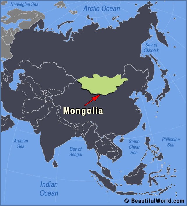
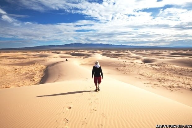
Gobi Desert
The Gobi Desert spans portions of both Northern China and Southern Mongolia, covering a total area of 0.5 million square miles (1.29 million sq. km). A cold desert; Gobi has one of the world’s most extreme climates, featuring rapid temperature changes, both seasonally and daily. Summer months bring temperatures of up to 122°F (50°C) whilst…