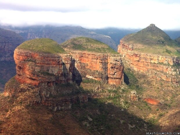
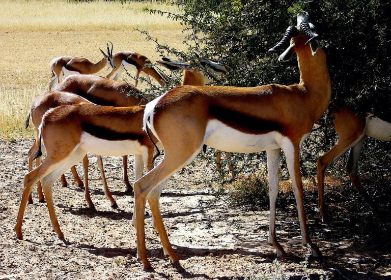
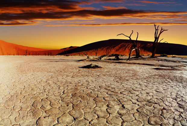
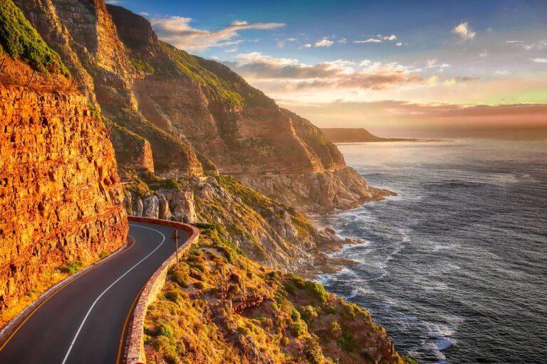
Situated at the tip of an ancient and intriguing continent, South Africa is a diverse land with unrivalled natural beauty. The majority of the South African landscape consists of plateaus (high, flat areas), covered with rolling grasslands (highveld) and plains dotted with trees (bushveld). To the east, west and south of the plateau is the Great Escarpment, a mountainous region. The eastern range of the Great Escarpment is called the Drakensberg (Dragon’s Mountain) and consists of many jagged peaks, some greater than 11,400 feet (3475 meters) high. In total, there are 19 national parks spread throughout South Africa, which serve to protect the infinite beauty of its lands. You can read our travel guide
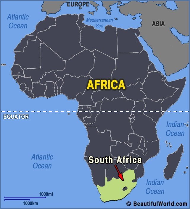
Essential Travel Guide for First-Time Visitors to South Africa
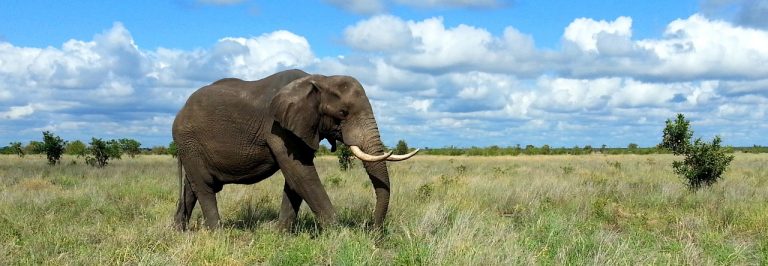
Are you planning a trip to a new tourist destination in 2022? Your best bet is South Africa. South Africa is home to a wealth of attractions and fun experiences. For the first-time visitor, the experience of adventure touring around the country’s popular wildlife conserves is a must as well as visiting its many landmark…