Nepal is a small landlocked country in South Asia, home to eight of the ten tallest mountains in the world, including Mount Everest (29,035ft / 8850m), the tallest mountain in the world. In fact, the Himalayan Region features 202 mountains rising over 19,685ft (6000m). Whilst mountains and rugged hills cover approximately 75% of the country, Nepal’s Tarai region (south) is a low-lying stretch of land, falling as low as 230ft (70m) at Kanchan Kalan.
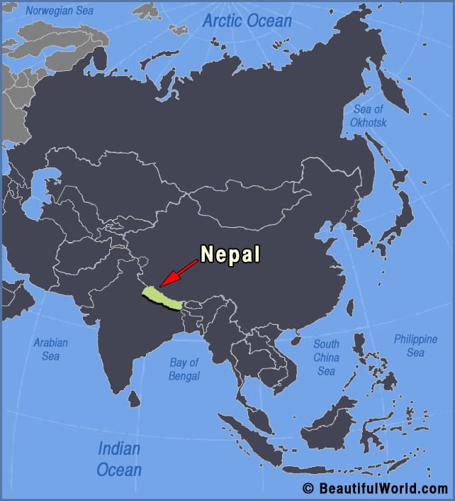
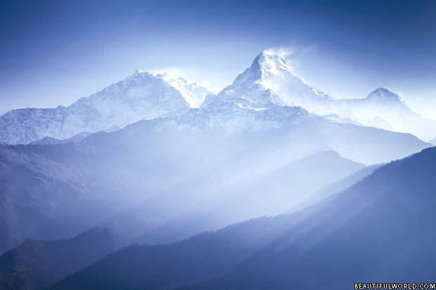
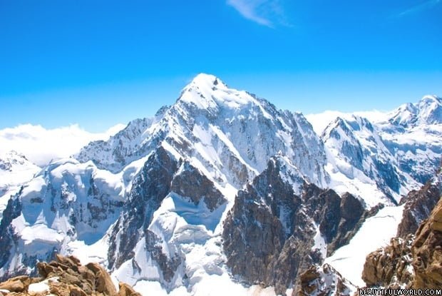
Dhaulagiri Mountain
Dhaulagiri, the seventh highest mountain in the world, is situated in Nepal and forms part of the Dhaulagiri mountain range. Its name is derived from Sanskrit, where it means ‘white beautiful mountain’. First ascended in 1960, the mountain has since been climbed successfully hundreds of times. Interesting facts about Dhaulagiri Dhaulagiri is the highest mountain…