 Bolivia is the larger of the two landlocked countries in South America (the other being Paraguay). It has a colourful history, and was originally home to the innovative and powerful Aymara culture. A period of Inca control followed in the 15th century, before the Spanish conquered in the early 16th century, and began their unrelenting search for precious metals. After 300 years of colonial rule, Bolivia finally gained independence in 1809, after Simon Bolivar (Bolivia’s namesake) defeated the Spanish in battle.
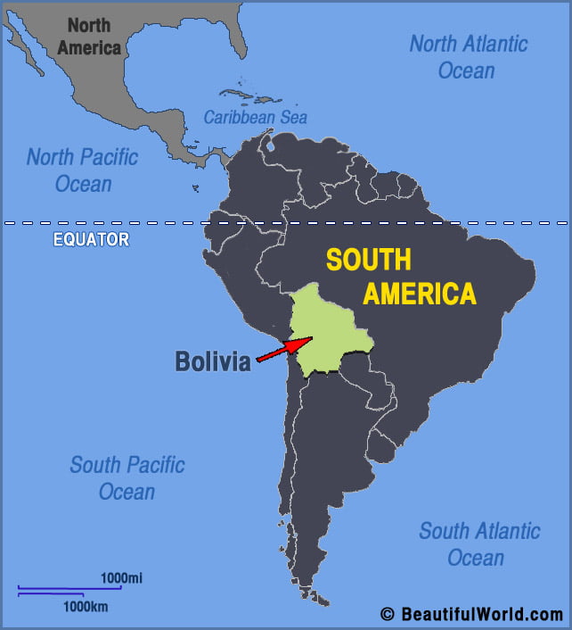
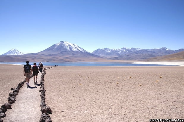
Atacama Desert
The Atacama Desert covers a total area of 40,541 sq. mi (105,000 sq. km), stretching 600mi (1000km) from southern Peru into northern Chile. Officially the driest place on Earth, it receives almost no rainfall whatsoever. In fact, it is so dry that some weather stations in the desert have never recorded a single drop of…
