Wales

flag-of-wales
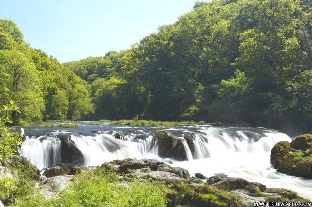
Wales is a beautiful country in the United Kingdom, spanning a total of 7930 sq. mi (20,540 km. sq.). It was first formed in 1536 as a result of Henry VIII’s Act of Union. Before that period of time, Wales had been a collection of independent kingdoms and lordships.
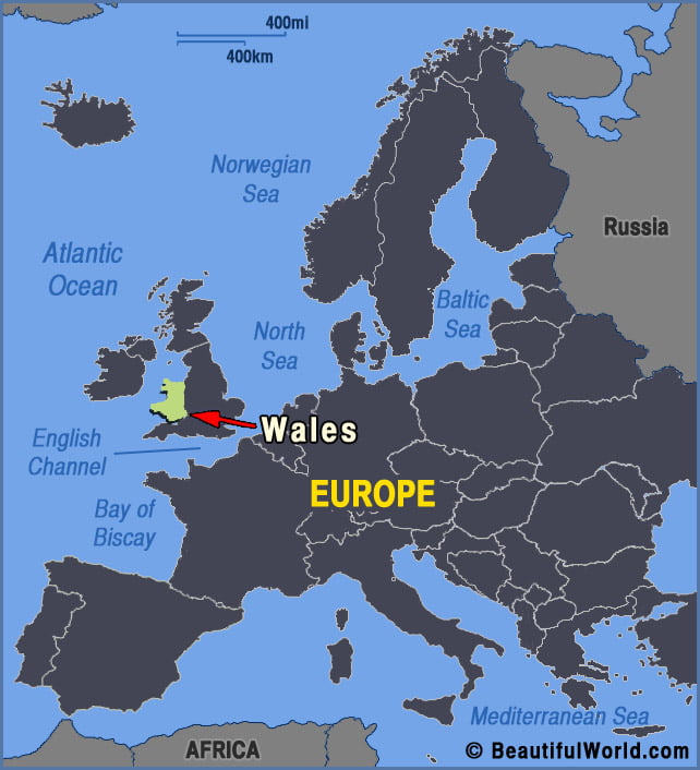
 For such a small country, Wales has a particularly varied landscape. The south features flat coastal plains that give way to valleys, and then to ranges of mountains and hills in mid and north Wales. Home to three national parks: Brecon Beacons, Pembrokeshire Coast and Snowdonia, which together cover approximately 20% of Wales’ land mass. Snowdonia National Park is home to the largest mountains, with Mount Snowdon (3560ft/1085m) the highest point. Pembrokeshire Coast National Park is the only national park in the UK to be designated as a result of its spectacular coastline. The very best of Wales’s 1317mi (2120km) coastline can be found here. Further, there are 5 official areas of outstanding natural beauty - Anglesey, Gower, Llyn, the Clwydian Range, Dee Valley and the Wye Valley.
Capital city: Cardiff Highest Point: Mount Snowdon (3559ft / 1085m) Lowest Point: Bristol Channel coastline (0ft / 0m) Land Area: 7930 sq. mi (20,540 sq. km) Water Area: 100 sq. mi (259 sq. km) Total Area: 8030 sq. mi (20,779 sq. km) Coastline: 1317mi (2120km) Bordering countries (1) England
wales-europe-map
Pen y Fan, Brecon Beacons, Wales

Pen y Fan

Situated in the Brecon Beacons National Park, Pen y Fan stands proudly at 2907ft (886m), offering spectacular, unrivalled views of the beautiful Welsh countryside....
Cenarth Falls

Cenarth Falls

The cascading Cenarth Falls on the River Teifi are the centrepiece of the village of Cenarth on the border of Pembrokeshire, Ceredigion and Carmarthenshire....