 Vietnam is the easternmost country on the Indochina Peninsula in Southeast Asia. It is a long, narrow S-shaped country covering a total of 331,210 square kilometres (127,880 sq. mi), making it equivalent in size to the state of New Mexico. Bordering countries include China to the north, and Cambodia and Laos to the West, whilst the South China Sea lies to the south and east.
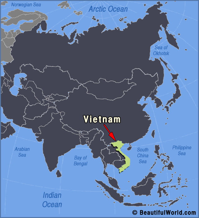
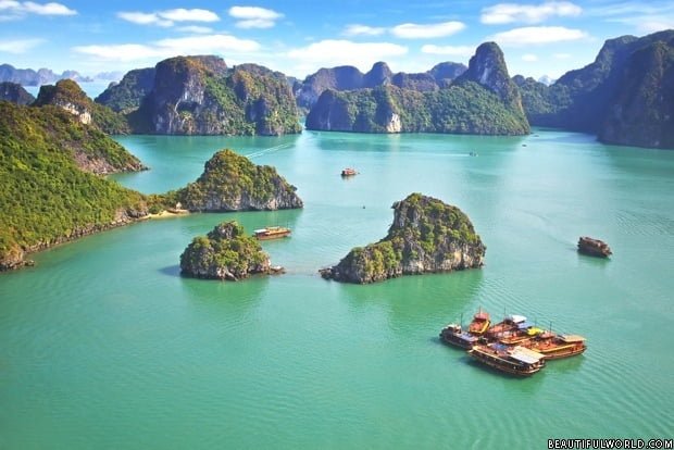
Ha Long Bay
Ha Long Bay is an area of extraordinary natural beauty, situated in Vietnam’s Quang Ninh Province, close to the Chinese border. Thousands of islands and islets are scattered in the region, surrounded by pristine, crystal-clear waters. Whilst comparisons are sometimes made with Guilin in China, or Krabi in Thailand, in reality, Ha Long Bay is…