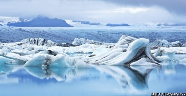
Iceland is an island in the Atlantic Ocean, situated immediately south of the Arctic circle, between Greenland and Norway. It is largely an arctic desert, interspersed with mountains, geysers, glaciers, waterfalls, hot springs and volcanoes. Perhaps the most distinctive of all its features are the glaciers, which cover over 4600 sq. mi (11,922 sq. km) – an impressive 11.5% of the total area of the country. The largest of these is Vatnajokull in Southeast Iceland, which is just as big as all of the glaciers on the European mainland put together.
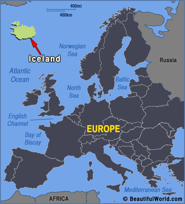
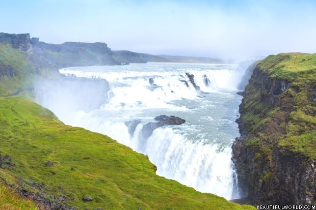
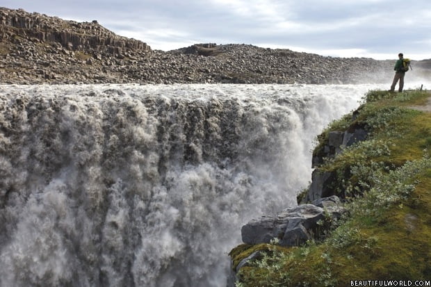
Gullfoss Waterfall
Gullfoss is a tiered waterfall, with a total height of 105 feet (32m). Born from the Hvita River, the crevice is hidden from sight at close range, making it appear as though the river simply vanishes into the earth. There’s a famous story about a girl who walked barefoot from Reykjavic to Gullfoss in order…