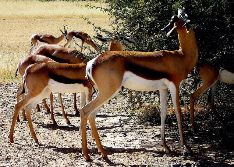
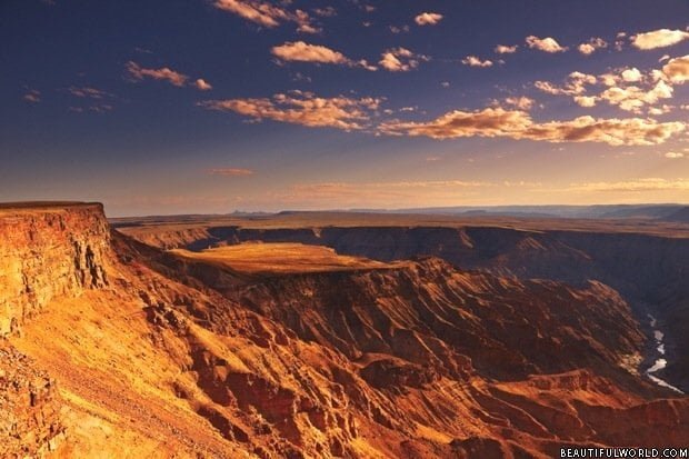
Namibia is a sizeable yet sparsely populated country, spanning a total of 824,292 square kilometres (318,260 sq. mi) in Southwest Africa. It features particularly harsh geographical features, with central semi-arid mountains, the Namib Desert on the coast, and the Kalahari Desert to the east of the mountains.
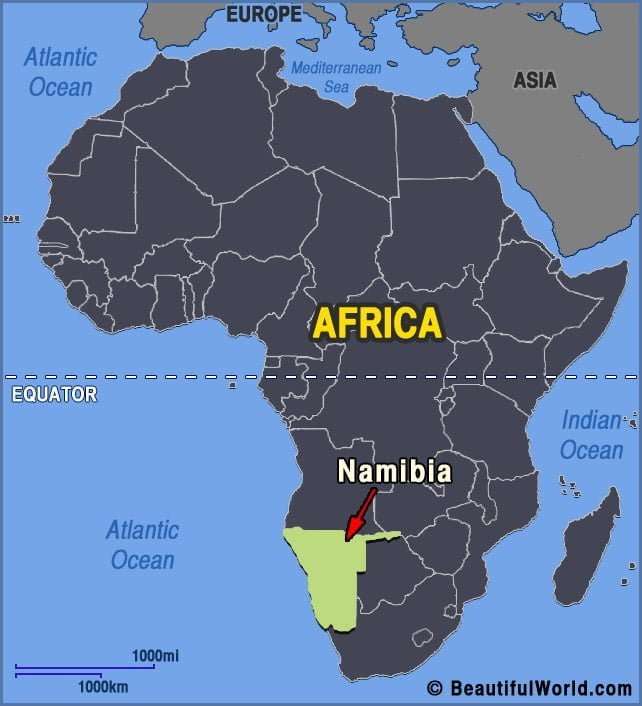
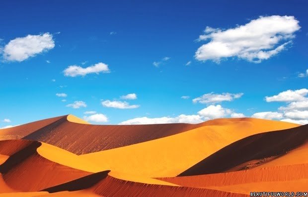
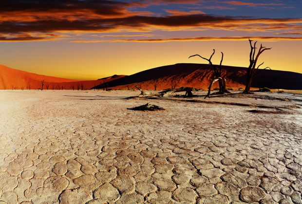
Sossusvlei
Sossusvlei is a large salt and clay pan, situated in the southern region of the Namib Desert. Undoubtedly Namibia’s most iconic landscape; the rust-red dunes, bleached white pans and deep blue sky are instantly recognisable, and symbolise the country’s vast, dry, uninhabited expanses. The name ‘Sossusvlei’ is thought to originate from Afrikaans and Nama, and…