Croatia is a small country situated in Southeastern Europe, nestled between Bosnia and Herzegovina and Slovenia. Given the size of the country, the landscape is rather diverse and consists primarily of flat, fertile plains in the north along the Hungarian border, and low mountains/highlands along the Adriatic coast.
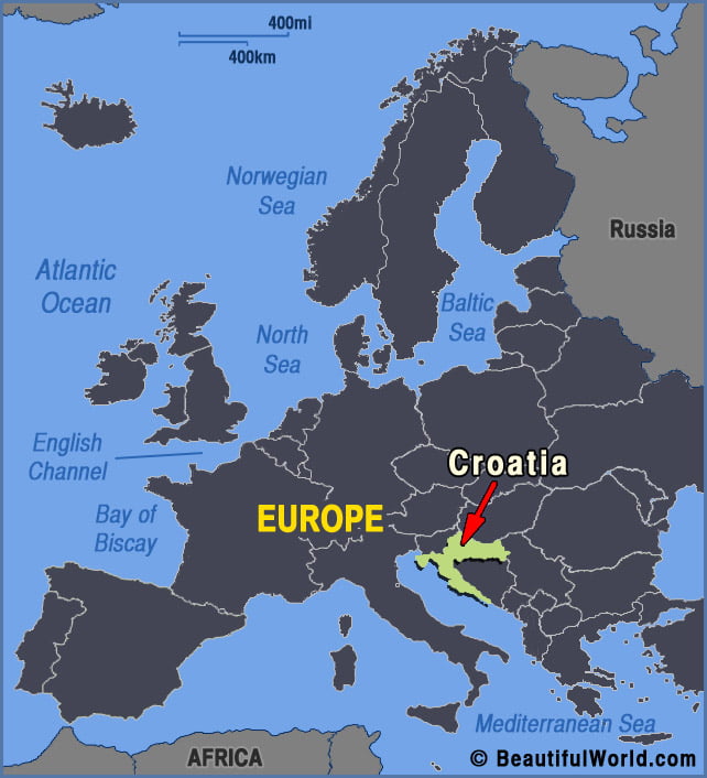
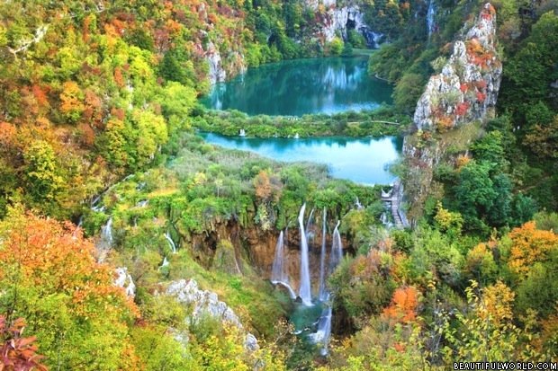
Plitvice Lakes National Park
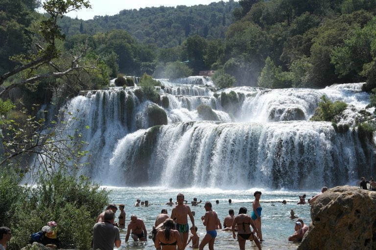
With cascading waterfalls hidden among lush forest greenery, it’s easy to see why Croatia’s very own Garden of Eden regularly features in lists of the world’s most beautiful places. At the heart of the Plitvice Lakes National Park, 16 azure pools spill into each other, connected with rocky outcrops dripping in moss. The tallest waterfall,…