 France is the largest country in Western Europe, and the second largest in the whole of Europe after Ukraine. In the north and west, it is dominated by a relatively flat plain interspersed with low rolling hills. The remainder of the country is rather mountainous, especially the Pyrenees in the South, and the snowcapped Alps in the east. The highest point in the country is Mont Blanc (15,770ft / 4807m), which also happens to be the second highest peak in Europe. France also has many rivers, the longest of which is the Loire (630mi / 1020km).
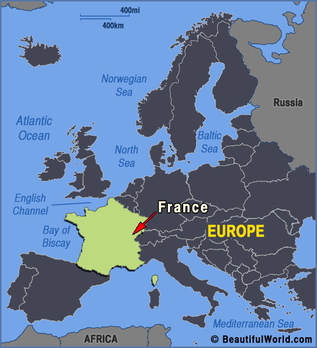

Verdon Gorge
The Verdon Gorge is one of Europe’s most beautiful river canyons. Situated in Provence Southeastern France, its name is derived from the striking turquoise color of the Verdon River that flows along its picturesque 25 kilometre (15.5 mile) length. Reaching a depth of 700 meters (2296ft) at numerous points, the Verdon Gorge (‘Gorges du Verdon‘…