 Malaysia, situated in Southeast Asia, just north of the Equator, is split into two distinct parts; Peninsula Malaysia (west, part of mainland SE Asia) and East Malaysia (east, on northern edges of the island of Borneo). Both contain some of the most beautiful stretches of coastline in the world, along with a collection of unrivalled national parks and rainforests. Across the country, elevations average between 3500-6000ft. (1066-1828m), though the highest peak, Mount Kinabalu, rises to an impressive 13,451ft. (4100m) in the Sabah (East Malaysia). Malaysia is also home to a number of caves, including the world largest network of caves, Mulu Caves. You must read our guide to the
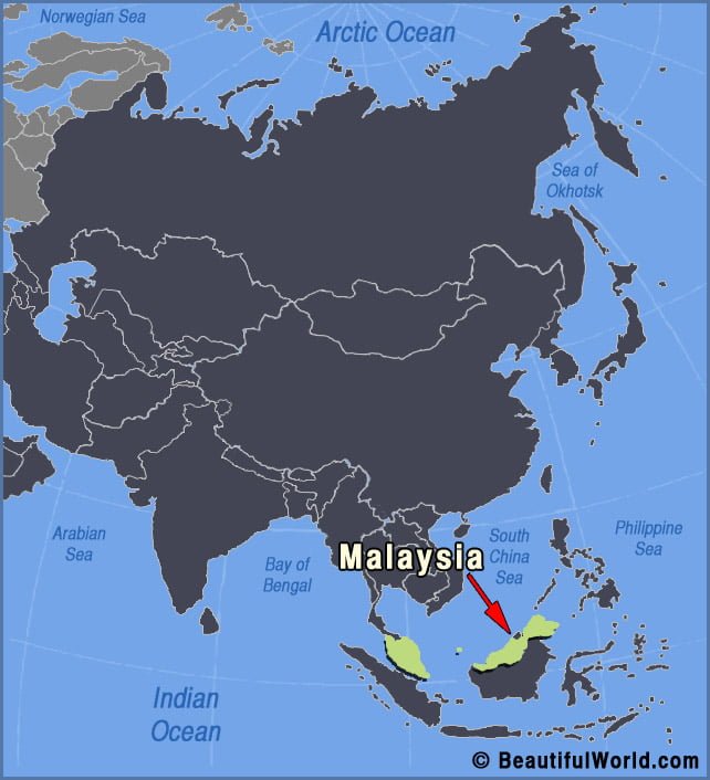
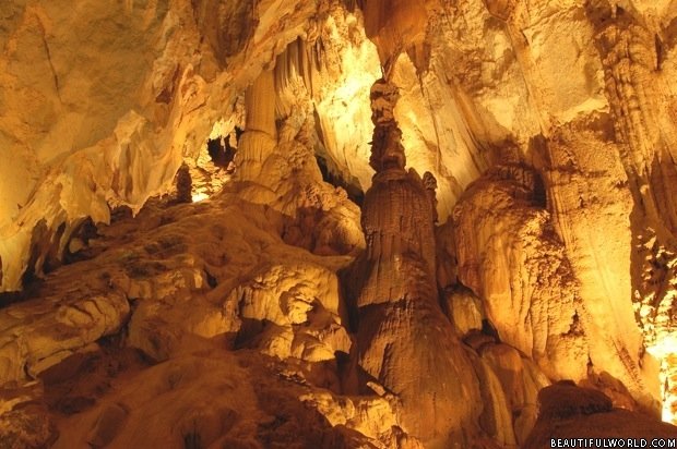
Mulu Caves
The Mulu Caves are part of the remote Gunung Mulu National Park in the State of Sarawak, Malaysia. Situated in the heart of Borneo, the Gunung Mulu National Park is a UNESCO World Heritage Site and home to some of the most diverse species of birds, plants, animals and marine life in the world. Gunung…