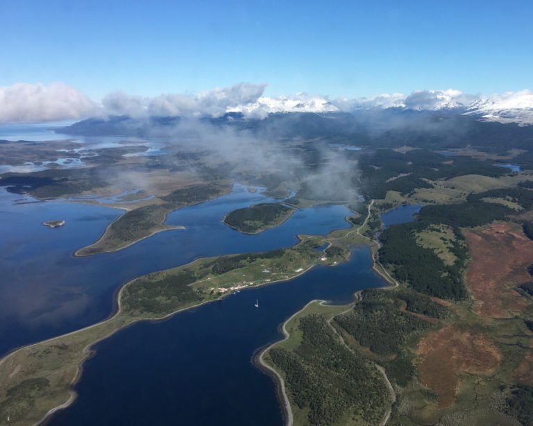
 Argentina can be found in the southernmost region of South America, bordered by Bolivia and Paraguay to the north, Chile to the west, and Brazil and Uruguay to the northeast. It is the second largest country in the continent after Brazil, and in fact the eighth largest country in the world.
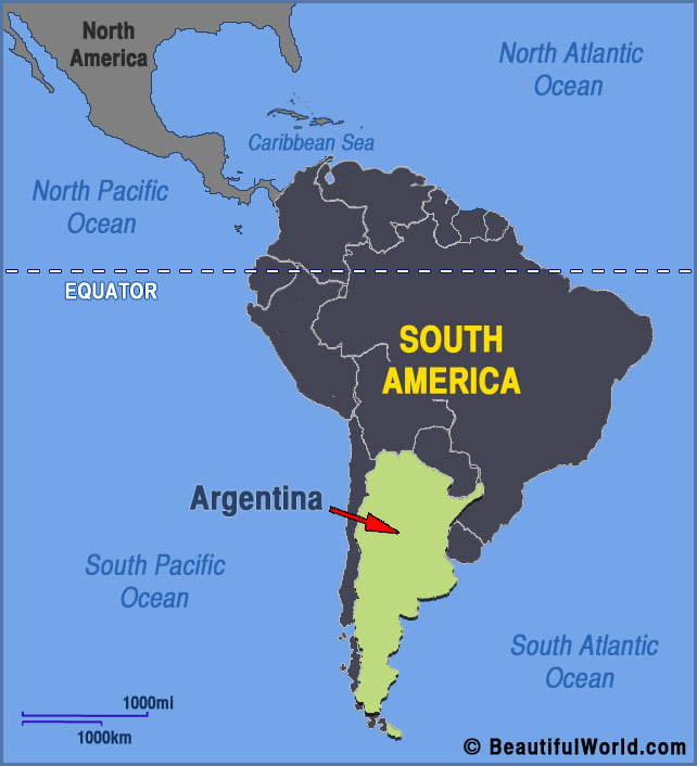
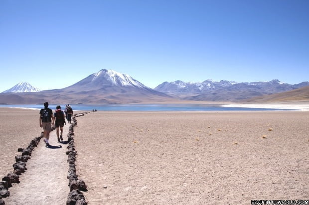
Atacama Desert
The Atacama Desert covers a total area of 40,541 sq. mi (105,000 sq. km), stretching 600mi (1000km) from southern Peru into northern Chile. Officially the driest place on Earth, it receives almost no rainfall whatsoever. In fact, it is so dry that some weather stations in the desert have never recorded a single drop of…