 Ecuador is a picturesque country in northwestern South America bordered by Colombia, Peru and the Pacific Ocean. Originally home to various Indigenous Indian tribes, Ecuador was conquered by the great Inca empire in 1463. The Incas remained in power until the early 16th century, when the Spanish arrived and easily overpowered the Incas. The Spanish ruled until independence was finally obtained in 1830, after a long, bloody struggle for freedom.
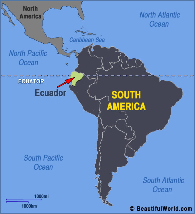

Galapagos National Park
The Galapagos National Park was established in 1959 and is Ecuador’s oldest park. It covers a massive 3087 square miles – 97% of the Galapagos Islands. The remaining 3% includes the inhabited islands of Santa Cruz, San Cristobal, Isabela and Floreana. Established to protect the unique diversity of the islands, the park service seeks to…