Guyana is a small country, comparable in size with South Dakota, situated on the Caribbean coast of South America. It was first discovered by European explorers at the end of the 16th century, and after many battles which took place over centuries, it became a British colony in 1803. It remained as such until 1966 when it gained its independence. As a result, Guyana is the only country in South America to speak English as a first language.
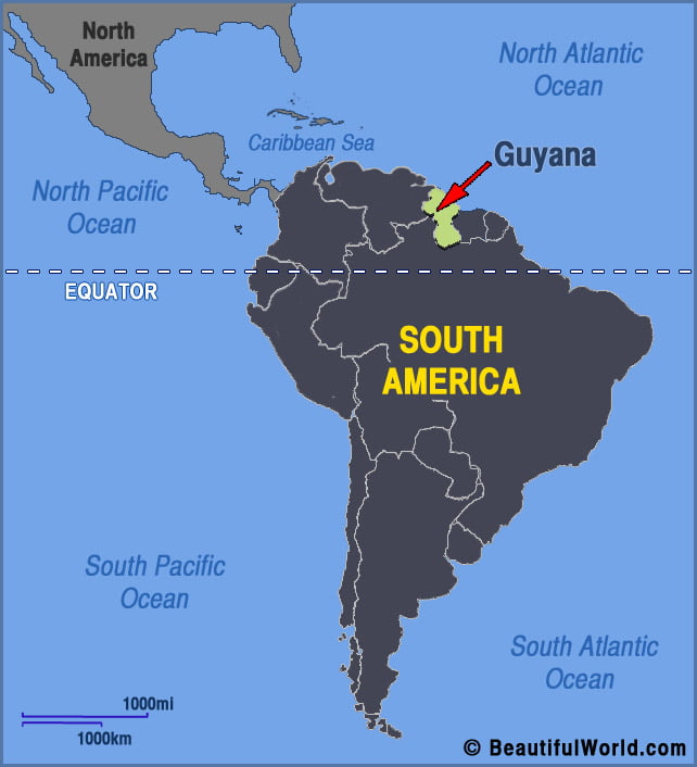
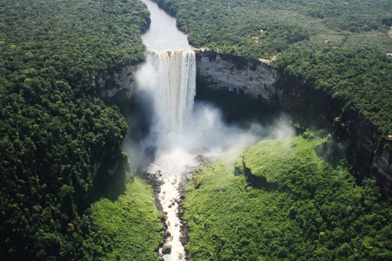
Kaieteur Falls
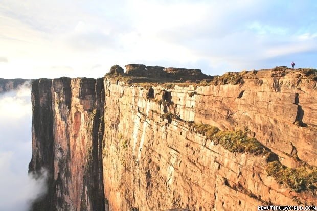
Kaieteur Falls is one of the tallest and most powerful waterfalls in the world. Located in Kaieteur National Park, Guyana, the falls’ impressive combination of height and force make it a fearsome sight. Travellers generally visit the falls in small groups, and therefore the area is never crowded, allowing tourists to marvel at the rugged…