 Zambia is a landlocked country situated in Central Africa, which covers an area of 752,614 square kilometres (290,586 sq. mi), making it slightly bigger than the U.S. state of Texas. It occupies an elevated plateau, flanked in the south by Victoria Falls and the Zambezi River. Whilst the majority of the country consists of a wide plateau, there are some mountains (Muchinga) scattered in the northern and central parts of the country.
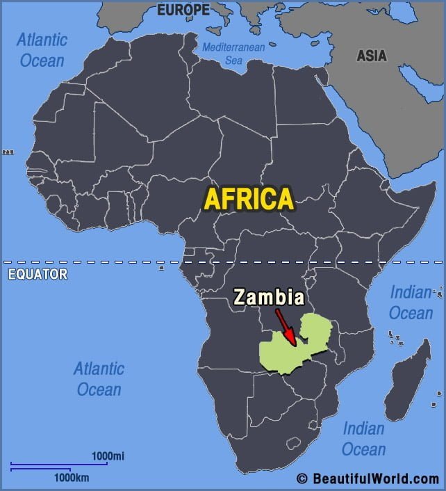
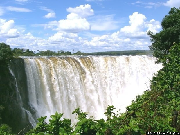
Victoria Falls
Victoria Falls is perhaps the most famous waterfall in existence. Situated on the border of Zambia and Zimbabwe, this massive wall of water is also referred to by its indigenous name ‘Most-oa-Tunya’, which means ‘the Smoke that Thunders’. Fed from the Zambezi River, the Falls are considered one of the Seven Wonders of the Natural…