 Kenya is situated right along the Equator, on the eastern coast of the African continent. It is part of the most famous safari region (along with Uganda and Tanzania) in the world. Unsurprisingly then, Kenya has 13 wildlife reserves and 23 national parks.
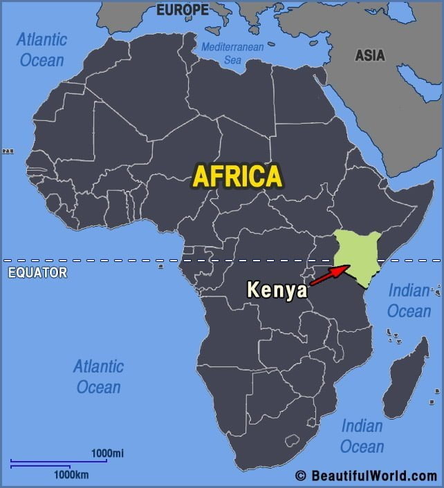

Mount Kenya
Created approximately 3 million years ago, Mount Kenya is an extinct volcano, often referred to as the ‘Place of Light’. Situated in central Kenya, just north of the equator, Mount Kenya lies within the Mount Kenya National Park. It has a trio of summits. The highest, Batian, is 17,057ft (5199m), making it the tallest peak…