England

flag-of-englandEngland is the largest country in Great Britain, which is part of the larger European continent, and is just 33km (21mi) from France, separated by the English channel. Most of English is comprised of rolling hills, though it is typically more mountainous in the northern regions, with the Pennine mountain chain dividing east and west. Other hilly areas in the north and midlands are the North York Moors, Peak District, and the Lake District, all of which are protected under the national parks system. In total, England has 10 designated national parks protecting undeveloped scenic parts of the country, 5 of which are in the north, 4 in the south, and 1 on the east coast.
Capital city: London Highest Point: Scafell Pike (3208ft / 978m) Lowest Point: The Fens (-13ft / -4m) Land Area: 49,944 sq. mi (129,355 sq. km) Water Area: 594 sq. mi (1540 sq. km) Total Area: 50,538 sq. mi 130,895 sq. km) Coastline: 2016 miles (3246 km) Bordering countries (2) Wales, Scotland
england-europe-map
The Lake District

Lake District National Park

The Lake District National Park is a beautiful national park in the north west of England, famed for its verdant mountains and valleys as...
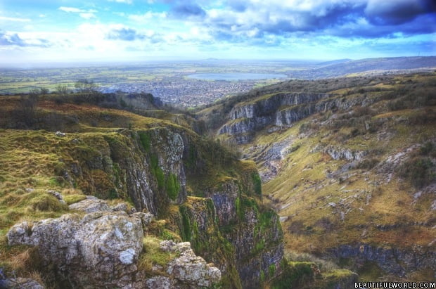
Cheddar Gorge

Cheddar Gorge

Nature lovers, history enthusiasts, outdoor devotees, admirers of the sublime and cheese connoisseurs rejoice – Cheddar Gorge has it all. Residing in an area...
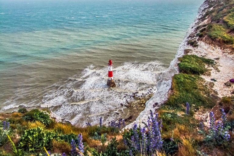
South Downs National Park

South Downs National Park

The South Downs National Park is the newest of the UK's 15 national parks having only received full protected status in 2011. Its most...
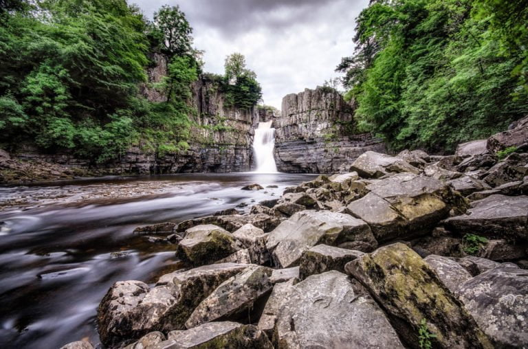
High Force Waterfall

High Force Waterfall

For many, the river Tees is a symbol of the industrial north-east but the river rises high up in the North Pennines following a...
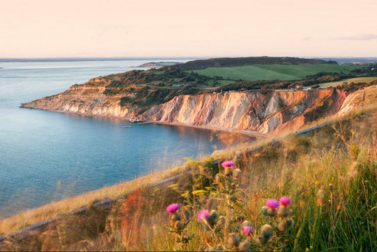
Isle of Wight

The Isle of Wight

Islands are fascinating places each having its own charms and character. When viewed from afar, an island is a place of mystery, a land...